
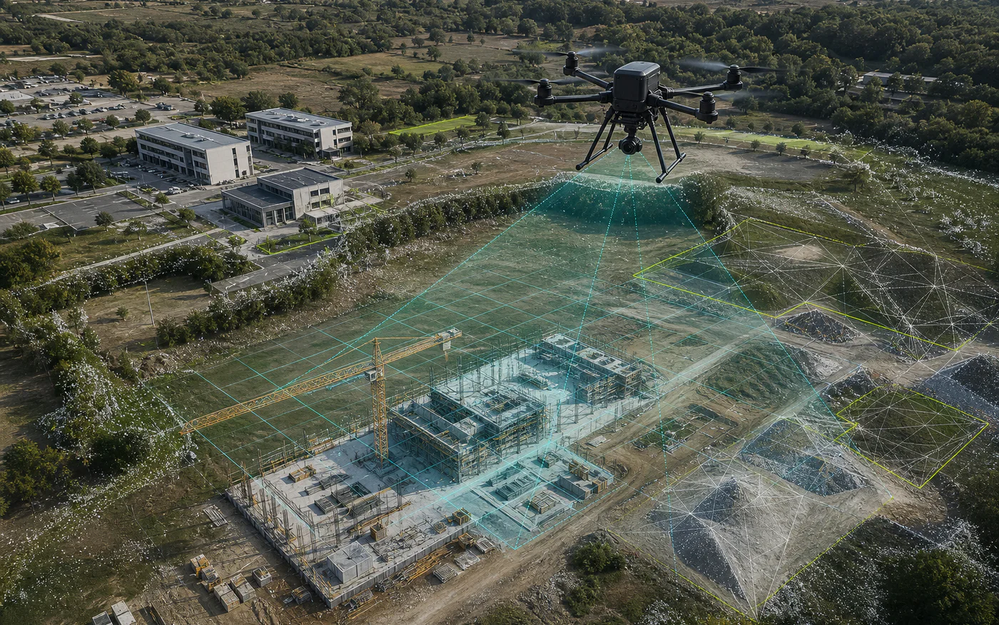
Drone photogrammetry converts overlapping photographs into spatially related 2D and 3D material. RTK can improve aircraft positioning, but final usefulness and accuracy depend on the complete workflow: capture geometry, corrections, control, surface characteristics, processing and independent checks.
1. Choose the output from the project question
Use an orthomosaic when the team needs a consistent top-down visual reference for a site, roof or work area. Use a point cloud when spatial points, sections or further specialist processing matter. Use a textured mesh when shape and visual context should be explored in three dimensions.
A project may need more than one output, but producing every possible file is rarely the best brief. Define who will use the data, in which software and for what decision.
2. Specify coordinates, units and file compatibility
State the required coordinate reference system, units and any project grid before capture. If the material only needs local visual comparison, say so. If it must align with other datasets, provide the relevant reference information.
Agree file formats and practical size limits with the receiving team. A technically correct output is not useful when it cannot be opened, aligned or reviewed in the intended workflow.
3. Understand the contribution and limits of RTK
RTK improves the positioning information recorded during capture when a valid correction source and suitable conditions are available. It does not independently guarantee the accuracy of the final orthomosaic, point cloud or model.
The required approach may include ground control points and independent checkpoints. Their role, distribution and measurement method should be agreed according to the intended use and accuracy requirement.
4. Plan capture around the surface
Overlap, flight geometry, camera angle, lighting and surface texture affect reconstruction. Reflective water, moving vegetation, uniform surfaces, deep shadows and hidden faces may create gaps or unreliable areas.
Buildings and vertical structures may require oblique imagery in addition to a top-down grid. The flight plan should be designed for the requested output rather than copied from an unrelated site.
5. Require a transparent quality statement
The delivery should identify the agreed method, coordinate reference, processing scope, control used, checks completed and known limitations. Any accuracy statement should refer to evidence from the project itself rather than a generic equipment specification.
Aeronautiq provides RTK-supported photogrammetry as a technical data service. A legally binding cadastral or survey product requires the separate involvement of an authorised surveyor and the applicable procedure.