2D · 3D · RTK-SUPPORTED CAPTURE

2D/3D modelling and RTK-supported drone flights

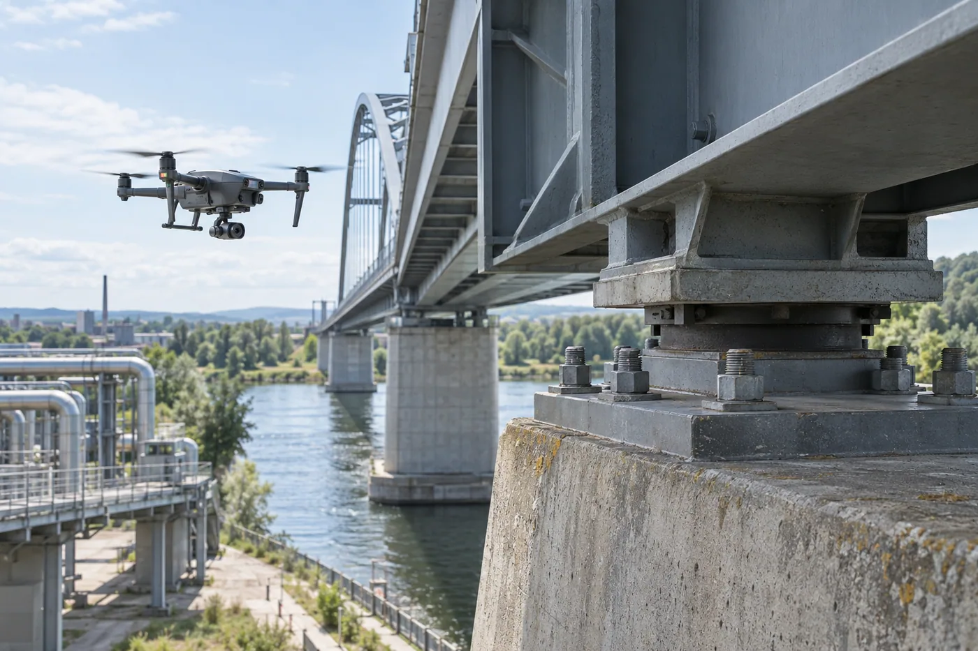
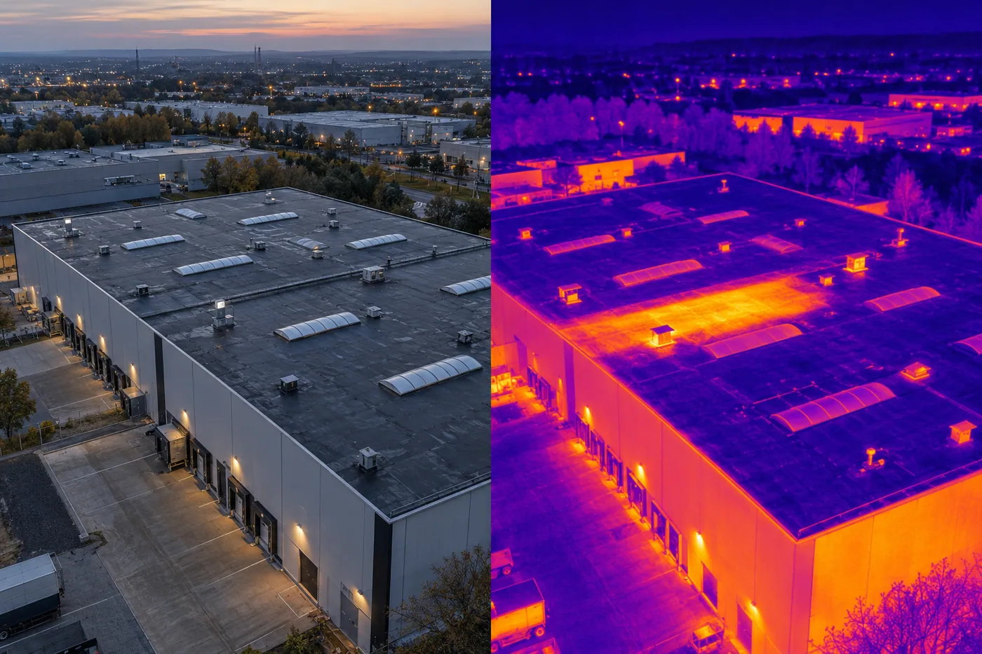
Planned overlapping imagery can be processed into clear 2D and 3D project material for sites, buildings, roofs and infrastructure — with the required accuracy and validation method agreed before capture.

Discuss your project
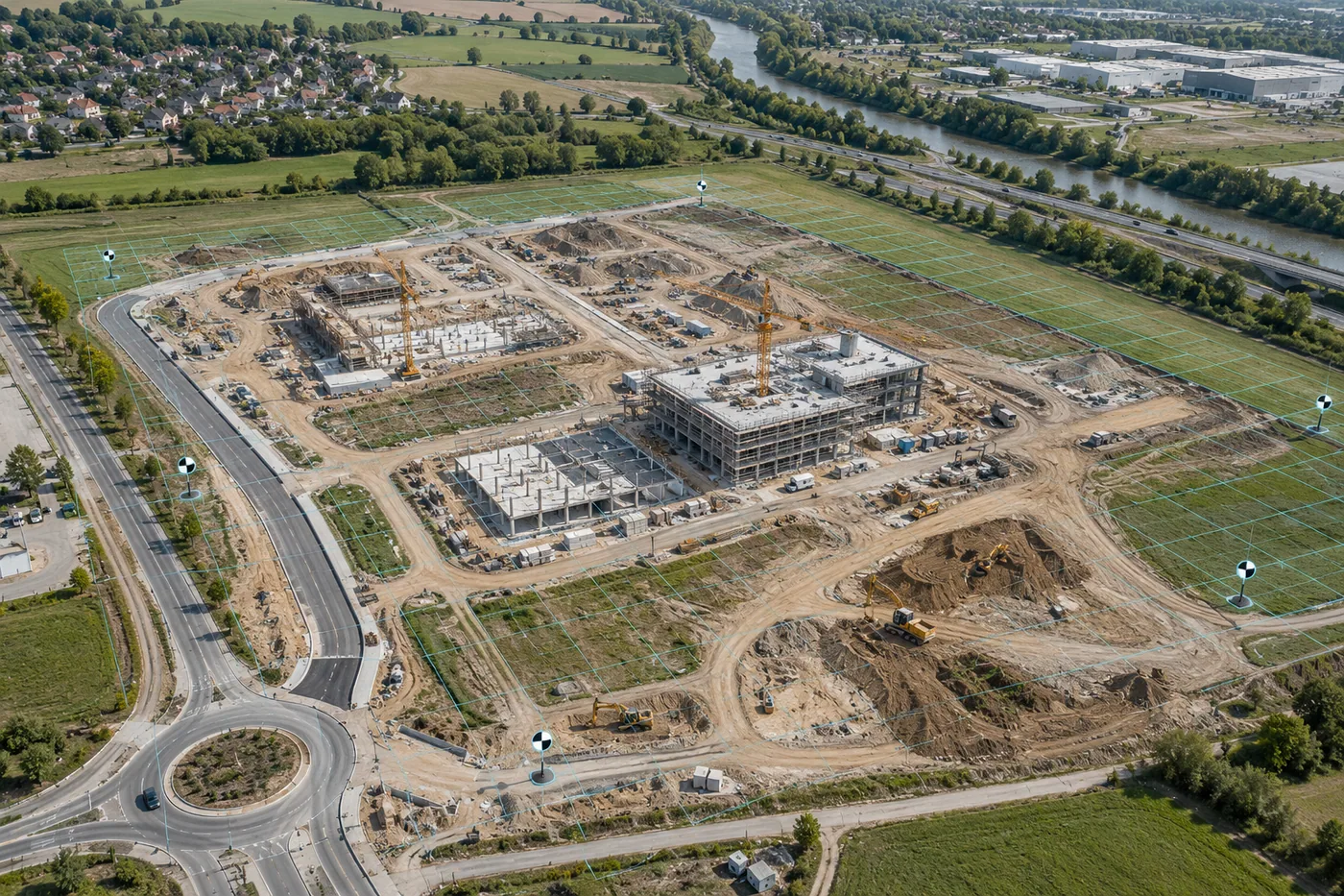
Demonstration of RTK-supported aerial capture with orthomosaic and 3D model overlays
Demonstration visual

01 · Output

Typical deliverables

  • 2D orthomosaic or site model, where agreed
  • Photogrammetric point cloud and textured 3D mesh
  • Surface model, sections, contours or volume outputs when suitable
  • RTK-tagged source imagery and organised project archive
  • Method, quality-control and limitation note
02 · Use cases

Where this helps

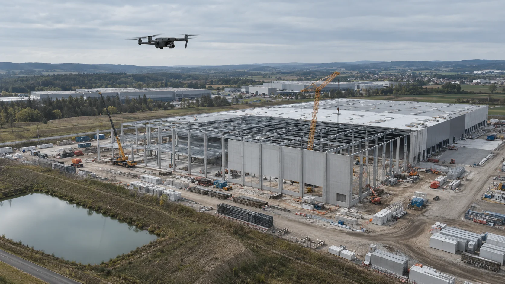
  • Construction and investment-site documentation
  • Buildings, roofs and hard-to-access structures
  • Terrain and infrastructure visualisation
  • Change, area and volume comparisons
  • Damage and as-built documentation for technical review

03 · Workflow

How the service works

  1. 01Define the decision, coordinate system and accuracy requirement
  2. 02Plan image overlap, RTK corrections and any ground control or check points
  3. 03Capture systematic RGB data with an appropriate platform
  4. 04Process, validate and deliver the agreed 2D/3D outputs

Guide

RTK drone photogrammetry: which output does your project need?

An orthomosaic, point cloud and textured 3D model answer different questions. The right brief starts with the intended decision, coordinate system and required validation — not with the RTK label alone.

Guide: RTK photogrammetry outputs

Guide

How much do drone services cost? Build a realistic starting budget

A useful estimate starts with the closest defined scope, then adds reporting, the selected delivery option and return travel for every visit. The calculator gives a transparent starting point before the location and operation are reviewed.

Guide: drone service costs

05 · FAQ

2D/3D modelling & RTK flights

01Does an RTK flight guarantee centimetre accuracy?+

No. The final accuracy depends on the complete capture and validation workflow, not the RTK label alone. Aeronautiq agrees the intended use and quality-control method before the mission.

02What 2D and 3D outputs can be prepared?+

Depending on the site and scope, outputs may include an orthomosaic, point cloud, textured mesh, surface model, sections, contours, areas, volumes or time-based comparisons.

03Is the output a legal or cadastral map?+

No. Legal surveying and official maps require the appropriate authorised surveyor, methods and acceptance procedure. That scope must be commissioned separately when needed.

SZCZECIN BASE · WORLDWIDE PROJECTS

Tell us what you need to see.

Send the country, location, objective and preferred timing. From its Szczecin base, Aeronautiq reviews worldwide project feasibility and proposes an appropriate scope.

Operational base: Szczecin, Poland. We support projects worldwide; execution is confirmed after reviewing local regulations, airspace, permits, safety and logistics.

PROJECT BRIEF

Prepare a project brief

Six short fields are enough to start a feasibility review.

The form saves the enquiry in the Aeronautiq project database. Email and WhatsApp remain optional contact channels. Do not enter sensitive data.