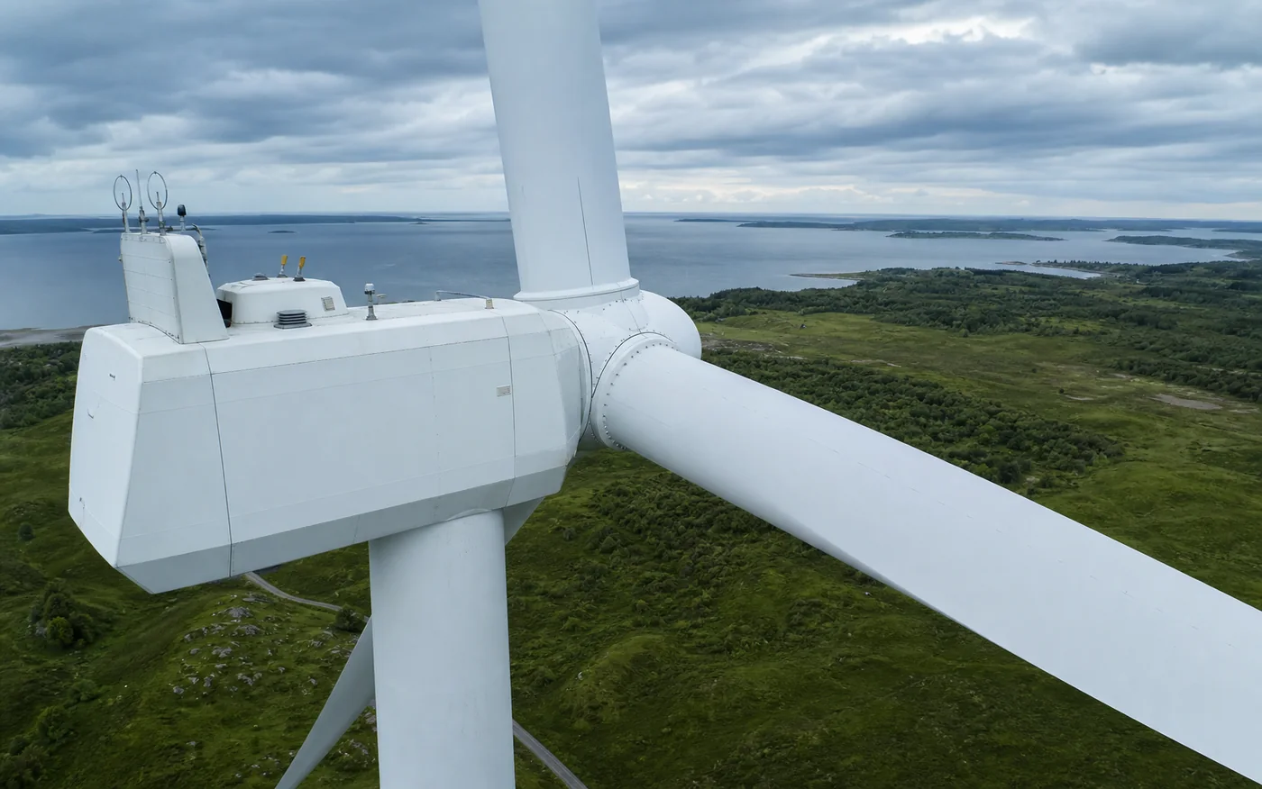
IMAGERY THAT SELLS
DJI Air 3S
A compact platform for dynamic footage, high-quality photography and regular aerial progress documentation.
PRECISION FROM ABOVE
Professional aerial photography, video, thermal imaging and technical inspections using the DJI Air 3S and Matrice 4T.
OPERATIONAL FLEET
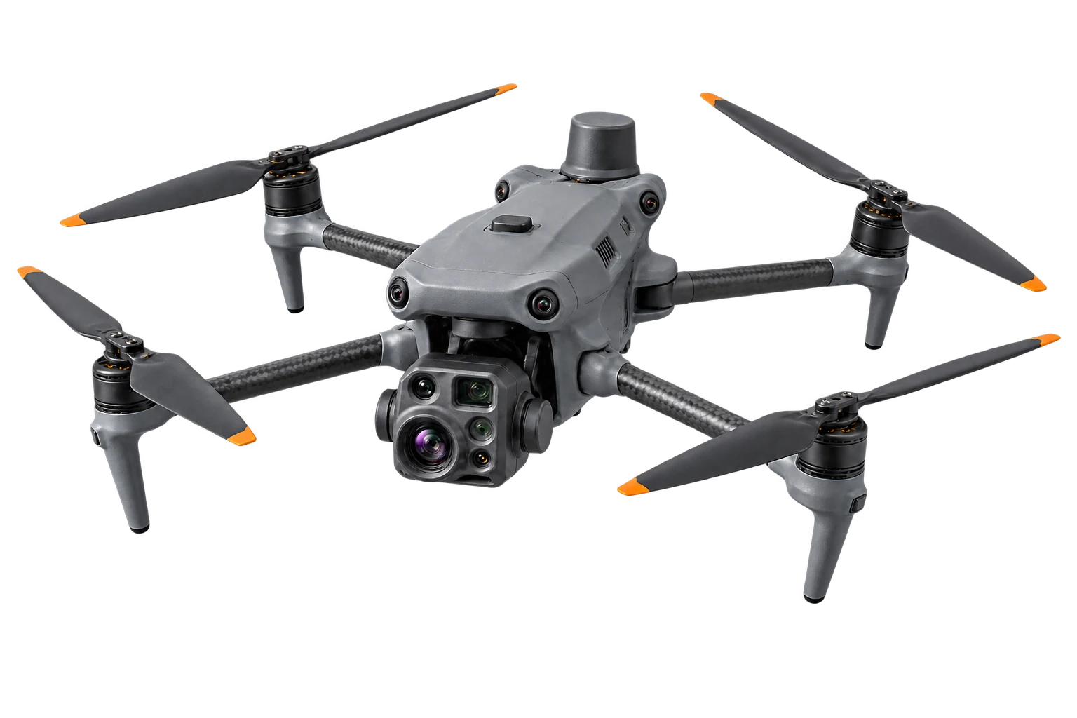
DJI AIR 3SDJI MATRICE 4TRGB IMAGING · THERMAL · TELEPHOTOOUR CAPABILITIES
We select the right platform for each task — from cinematic marketing footage to detailed thermal diagnostics. You receive material that is ready to use.
IMAGERY THAT SELLS
A compact platform for dynamic footage, high-quality photography and regular aerial progress documentation.
BEYOND THE VISIBLE
An advanced thermal and inspection platform designed for daytime, nighttime and demanding operating conditions.
DJI AIR 3S
A complete service — from flight planning and capture to publication-ready content.

Dynamic imagery of properties, land, hotels and developments, ready for listings and campaigns.
↗
Smooth aerial footage for companies, brands, tourist destinations and social media.
↗
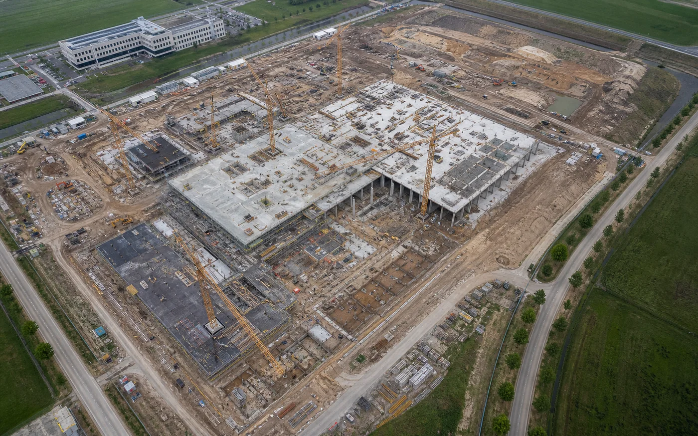
Regular flights showing construction progress, site conditions and changes throughout the project.
↗
Striking footage of events, outdoor locations, routes and attractions from an attention-grabbing perspective.
↗DJI MATRICE 4T
Advanced visual and thermal data helps assess assets faster and reduce costly downtime.

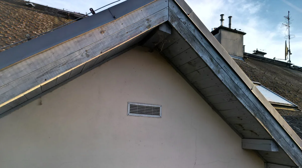
Detecting thermal anomalies on roofs, façades and installations without accessing the structure.
↗
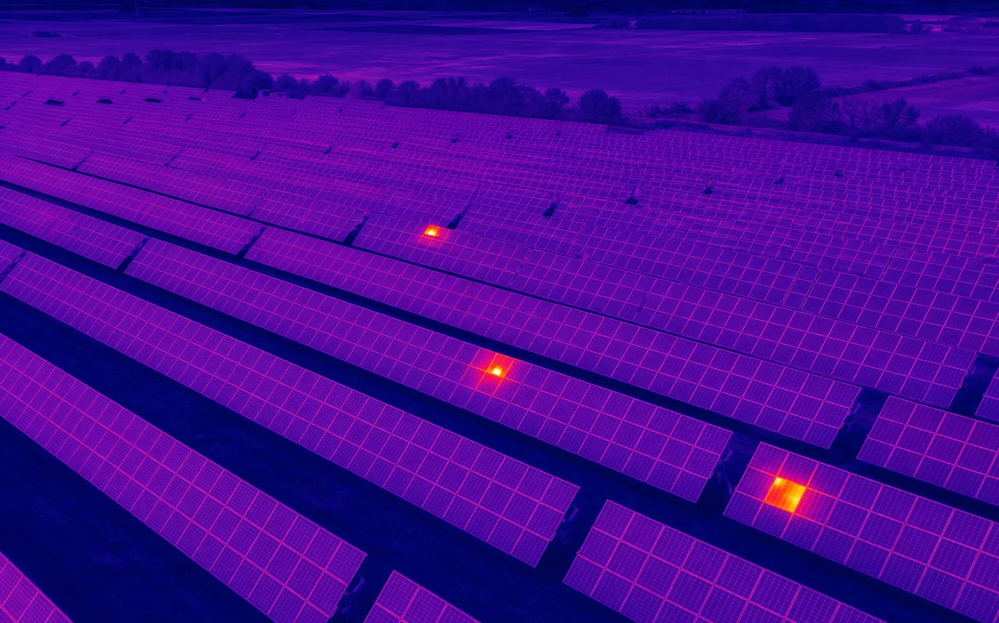
Locating hotspots, faulty modules and uneven performance across photovoltaic systems.
↗
Documenting masts, chimneys, industrial halls, structures and hard-to-reach components from a safe distance.
↗
Observing terrain and locating heat sources in low-visibility conditions.
↗
Rapid thermal scanning of large areas in cooperation with authorised emergency services.
↗
Clear imagery, marked areas requiring attention and structured data from the flight.
↗EXAMPLE APPLICATIONS
The scenarios below show how a project can be planned. The exact scope and delivery format are confirmed before the flight.

Photography and dynamic aerial film for a listing, campaign or development website.
Deliverables: photography + edited video
Thermal capture of panels with clear identification of areas requiring further verification.
Deliverables: RGB and thermal imagery + summary
Repeatable views from agreed points, making it easier to compare consecutive project stages.
Deliverables: files organised by dateOUR WORKING STANDARD
Every enquiry begins with a feasibility check. The operation is matched to the location, conditions and applicable regulations.
We assess the location, airspace, weather and operational restrictions.
Before the project, we confirm the scope, expected deliverables, timing and delivery method.
Materials are shared only with agreed recipients and are never published without permission.
If a task requires additional permits, conditions or expertise, we explain this before quoting.
OPERATOR QUALIFICATIONS
The remote pilot qualifications cover European open and specific category scenarios. Document numbers can be provided for verification upon a justified client request.
Open category
Standard scenario
Standard scenario
Qualifications do not replace the individual risk assessment, notifications or authorisations required for a specific operation.
PACKAGES AND PRICING
We show practical starting prices for typical projects. Final cost depends on location, scale, post-production, flight conditions and required outputs.
The starting package covers property or land photography; film and extended editing can be selected in the calculator.
The starting price covers a short RGB visual inspection. Thermal capture and reporting depend on scope.
A one-off documentation flight for a construction site, land or development with organised delivery.
GUIDE PRICE CALCULATOR
This estimate is not a binding offer. It excludes extended travel, accommodation, local fees, additional permits and certified expert work. The final price is confirmed after reviewing the project.
A SIMPLE PROCESS
Every project is planned individually around the objective, location and current operating conditions.
We define the objective, location and expected deliverables.
We check the airspace, weather and conditions for safe operation.
We conduct the flight with the right platform and capture the required material.
You receive finished files or a structured inspection report.
FAQ
We operate throughout the European Union and Scandinavia. Travel and international logistics are included in the individual quote.
No. They are starting estimates for typical projects. The final offer is confirmed after reviewing the location, scope, airspace, logistics and required deliverables.
Once we have the location, scope and preferred date, we can usually prepare a proposal within one business day.
No. Feasibility depends on the airspace, weather, terrain, safety and legal requirements. We check these before confirming a date.
We agree the delivery scope before the flight: photographs, an edited film, raw files, thermal imagery or organised inspection material.
Thermal material identifies anomalies and supports diagnostics, but it does not replace a certified expert opinion where one is required.
If conditions do not allow safe, useful capture, we agree a new date with you.
LET'S TALK ABOUT YOUR PROJECT
Tell us the location and scope of your project. We will respond with a proposed approach and quote.