
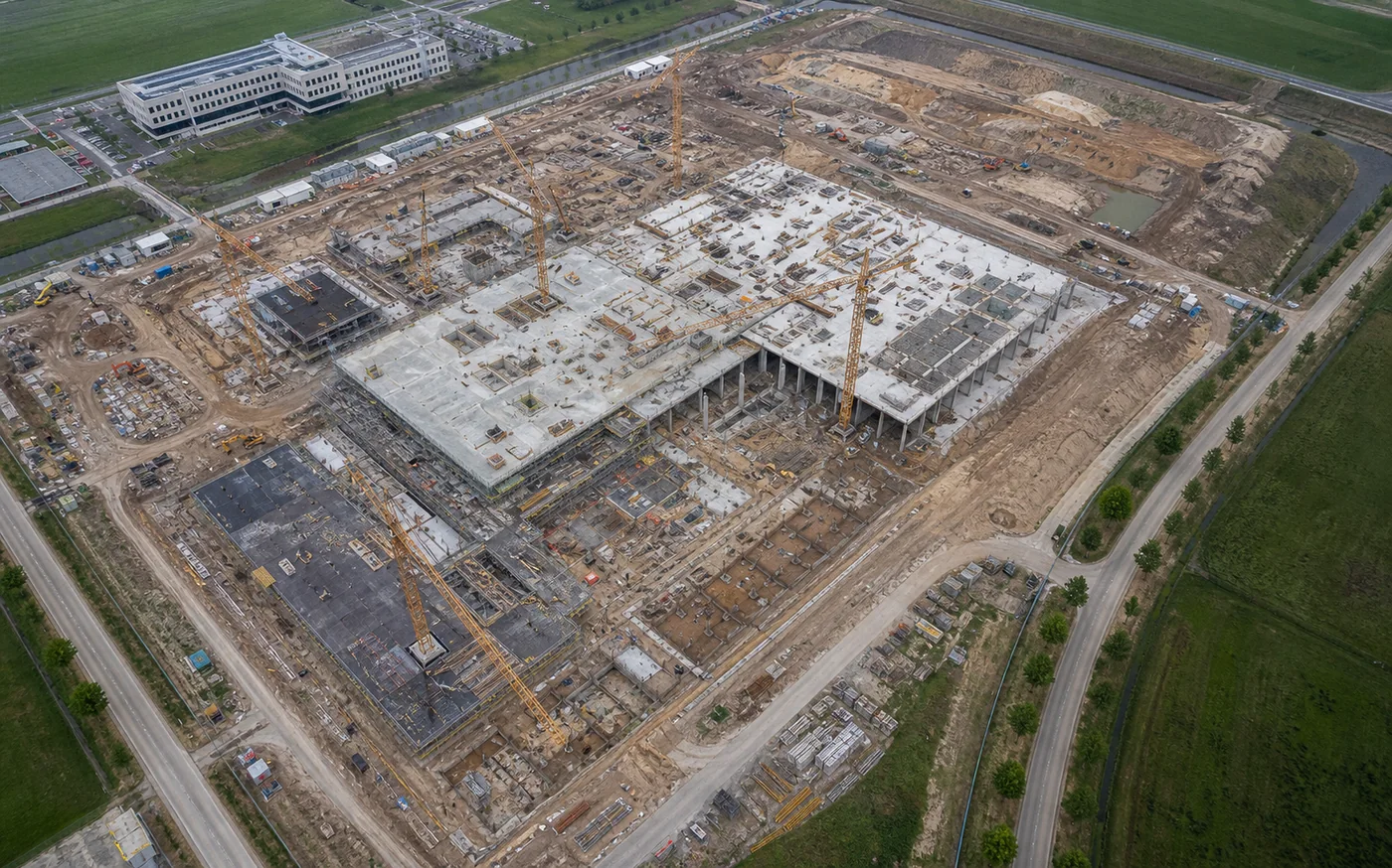
Construction imagery should answer practical questions about progress, coordination and communication. A useful programme defines who needs the material, what must remain comparable and how changes on an active site affect each operation. Promotional photographs can be included as a separately planned output.
1. Define the audience and reporting purpose
List the people who will review the material: investor, project manager, contractor, design team, marketing team or another stakeholder. Their decisions determine the required viewpoints, detail level and delivery format.
Plan technical progress records and promotional content as distinct outputs. Both can be captured during the same visit when feasible, although they usually require different framing, selection and editing.
2. Establish a baseline on the first visit
Agree overview directions, reference points, key work zones and any areas that require closer observation. Record enough context for later viewers to understand orientation and the stage of the project.
Repeatability means using planned references and similar capture logic. Wind, cranes, temporary structures, safety zones and access changes may require adjustments, so identical framing cannot always be guaranteed.
3. Choose a rhythm that matches project decisions
Flights may be scheduled around weeks, months or project milestones. The best cadence is the one that captures meaningful change and reaches the team before its next reporting or coordination cycle.
Provide the site programme and known high-activity periods. A flexible operating window helps accommodate weather, airspace and temporary site restrictions without losing the intended reporting interval.
4. Standardise delivery and comparison
Agree folder names, dates, viewpoint identifiers, image resolution and whether the package includes selected photographs, video, an overview sheet, 2D material or comparison panels. Consistent organisation often saves more review time than a larger volume of files.
Quantitative 2D or 3D outputs require a separate definition of the coordinate system, accuracy requirement and quality-control method. Standard progress photography is not automatically a survey deliverable.
5. Prepare the active site for each operation
Name an on-site contact and identify cranes, lifting operations, restricted zones, overhead lines, security procedures and areas accessible to the public. Site conditions can change between visits and must be reviewed again.
Every date remains subject to airspace, local rules, weather, safe operating space and the current construction environment. A recurring programme does not remove the need for a pre-flight feasibility check.