Drone inspections and LiDAR.Evidence for your next decision.
Buildings, solar PV, turbines, industry and project sites. We deliver RGB and thermal documentation, point clouds and change records for maintenance, repairs and project planning.
Method, capture conditions, formats and limitations are agreed before delivery. Thermal imagery identifies areas for further verification; cause assessment and formal opinions remain with the appropriate specialist.
ENERGY, CONSTRUCTION AND INFRASTRUCTURE
Choose the output your project needs.
From terrain models to asset-condition records. Each scope explains the deliverables, inputs and pricing approach.
01
LiDAR mapping and 3D terrain
Spatial data for inventories, design and change comparison across terrain and infrastructure.
Final accuracy depends on mission geometry, corrections, control, terrain and validation. A legally binding survey requires an authorised surveyor.
FLAGSHIP TECHNOLOGY / OWNED SYSTEM
DJI Matrice 400, Zenmuse L3 and D-RTK 3
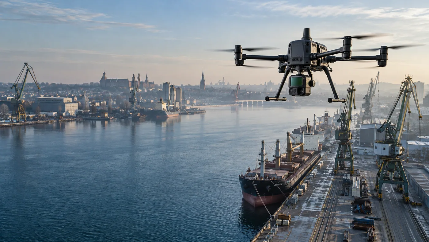
Aeronautiq's newest survey system combines LiDAR capture, dual RGB cameras and RTK/PPK referencing. We use it for terrain, construction and infrastructure documentation when imagery alone is not enough.
Review example deliverables, their contents and limitations. We agree the exact delivery scope before the project.
Expand a result type. You can keep several sections open at once.
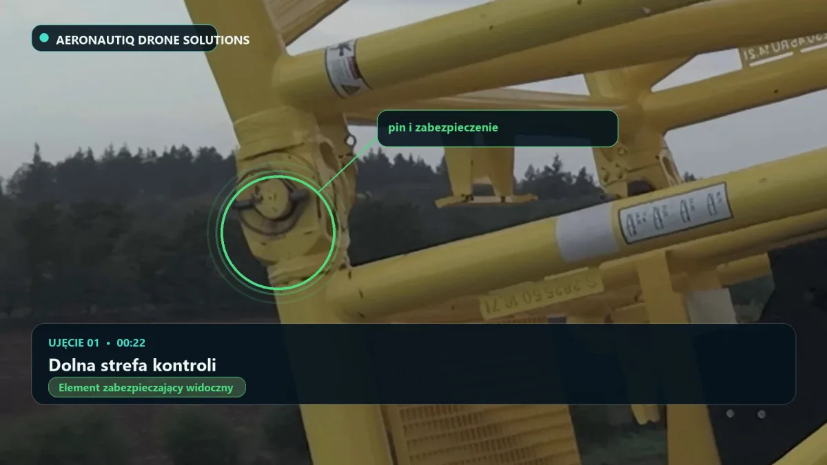
01PUBLISHED ARCHIVE ANALYSISInspection reportObservations, image references and priorities for further checks.+
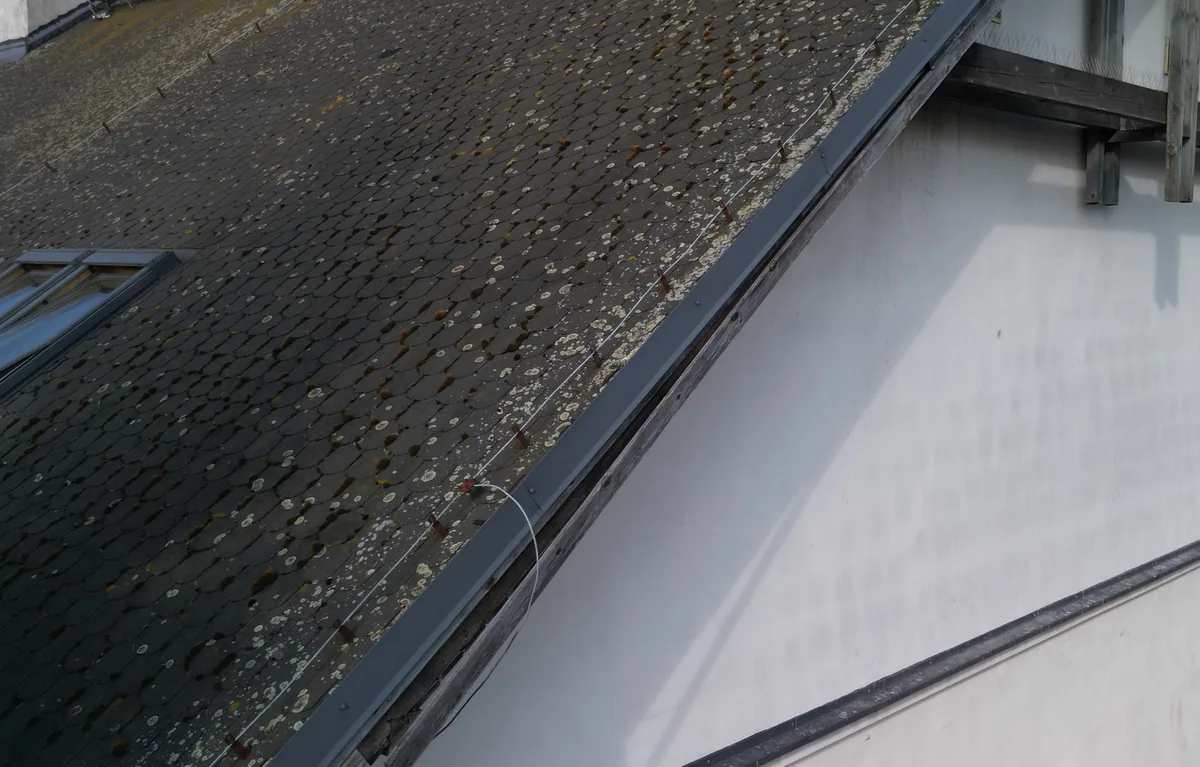
Budziszyńska, Szczecin. Preview of a photograph from the archive supplied for analysis.This report analyses a supplied photo archive. It does not claim that Aeronautiq performed the flight or took the photographs.
Output scope
Numbered observations with references to the photographs.
P1-P3 priorities and points for further verification.
Sources, assessment method and limitations.
Format and delivery
Web report and PDF in Polish, English and German. Polish remains the source version. The English and German editions are informational.
Important limitation
A remote assessment does not replace an on-site inspection or an opinion from an appropriately qualified specialist.
02DEMO, THERMAL ILLUSTRATIONRGB / thermal documentationOrganised imagery and identified areas for further inspection.+
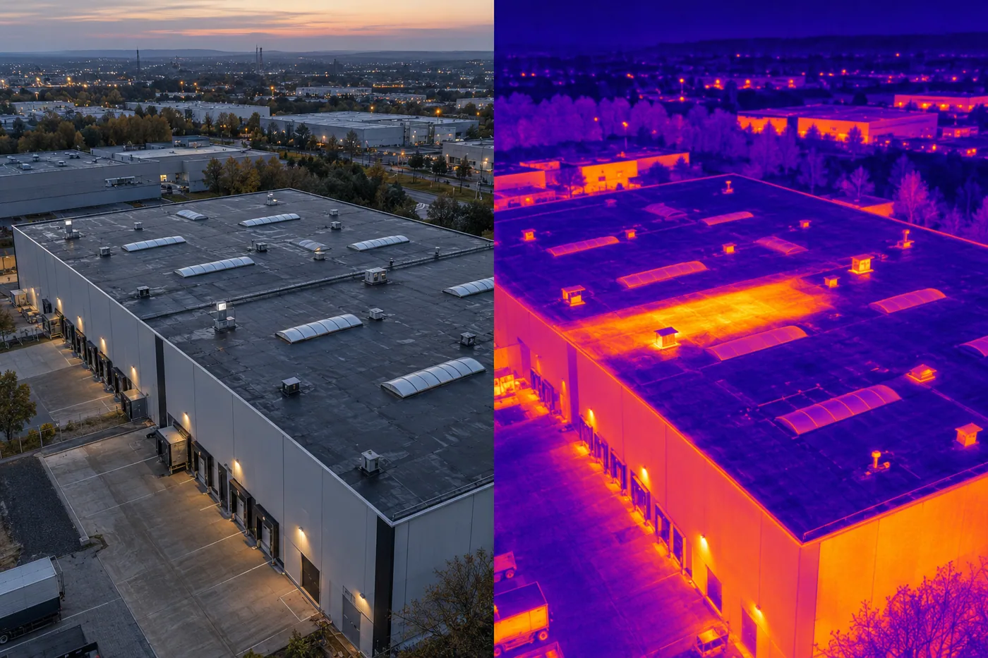
DEMO. An illustration of thermal presentation, not an inspection result.This is a DEMO illustration, not a temperature measurement. It is not presented as a matched RGB/thermal comparison of the same site.
Output scope
RGB and thermal imagery within the agreed scope.
Context views, close-ups and numbered observations.
Files organised by area or asset.
Format and delivery
RGB photographs in JPEG, thermal imagery in the agreed format. An optional PDF summary. Source files are agreed before capture.
Important limitation
Thermal results depend on weather, surfaces and temperature contrast. Observations do not replace a specialist diagnosis.
03DEMO, STATIC ILLUSTRATION2D/3D data and modellingAn orthomosaic, point cloud or model with the intended use agreed first.+
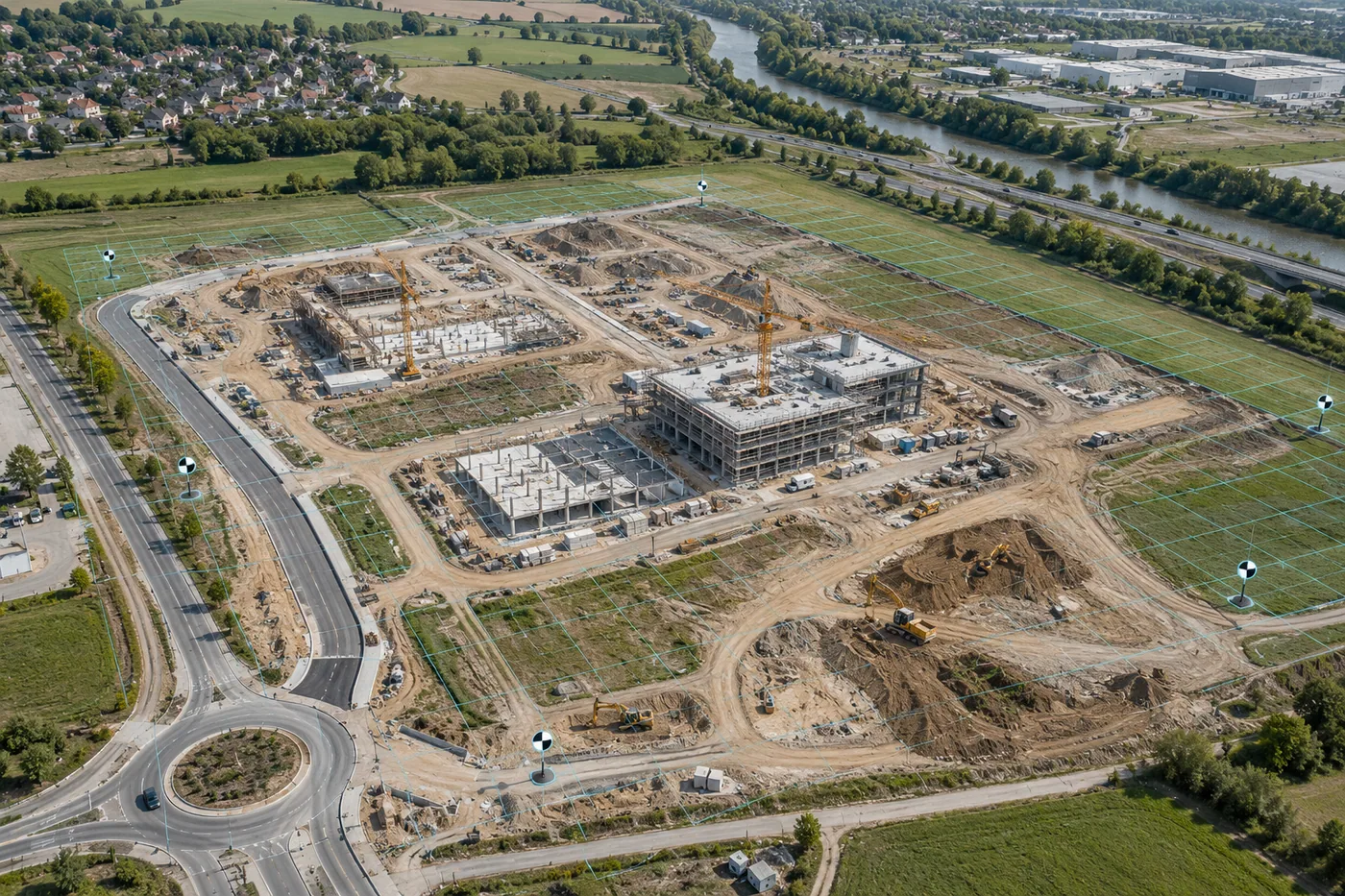
DEMO. Static 2D/3D photogrammetry illustration, not an interactive model.This is a static DEMO illustration. No real 3D model or measurement dataset is provided here.
Output scope
A 2D orthomosaic, point cloud or textured 3D mesh.
A surface model, sections or volumes where the scope allows.
Method, quality-control and limitation notes.
Format and delivery
Export for the agreed software. File format, coordinate system and recipient requirements are confirmed in the brief.
Important limitation
RTK supports positioning but does not by itself guarantee model accuracy. The validation method is agreed before capture.