DRONE INSPECTIONS FOR ENERGY AND INFRASTRUCTURE

LiDAR and drone inspections. Evidence for your next decision.

Terrain, turbines, solar PV and construction. We deliver point clouds, RGB and thermal imagery, and change records prepared for your team's workflow.

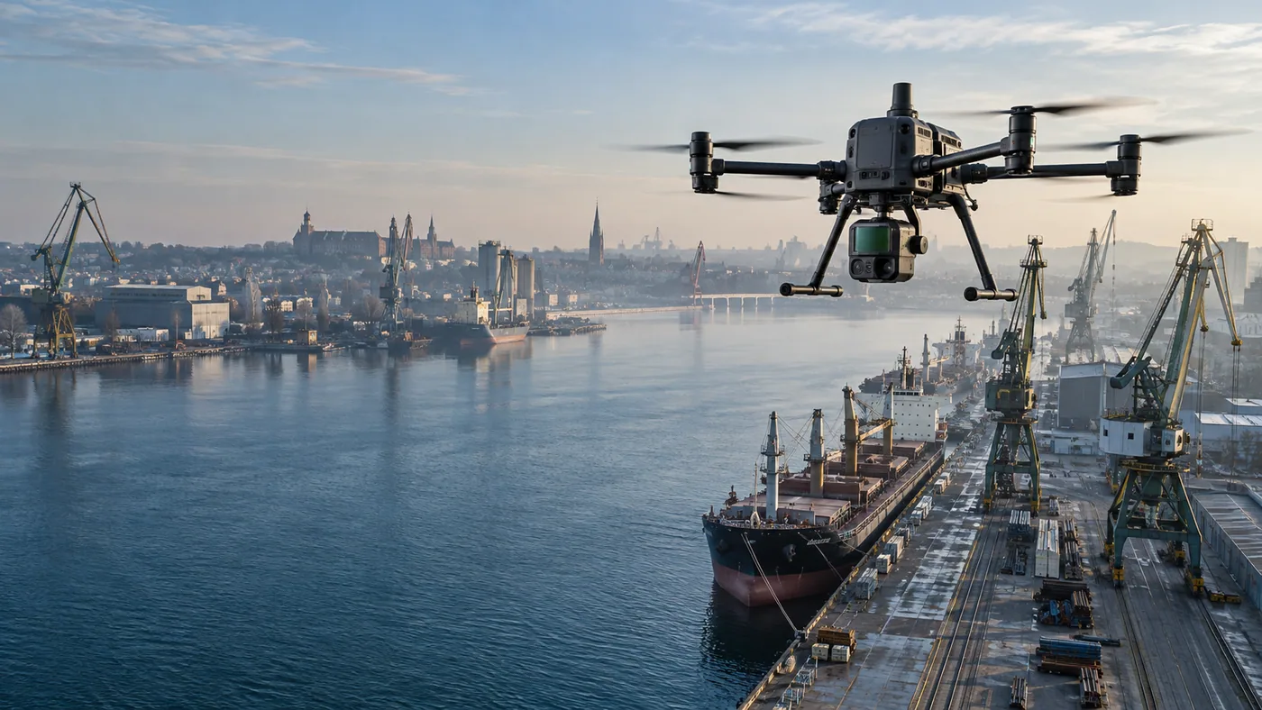
DJI Matrice 400 z Zenmuse L3 nad przemysłowym nabrzeżem w Szczecinie
DJI MATRICE 400 + L3LiDAR mapping and terrain models

LiDAR + 2 × 100 MP RGBPoint clouds and RTK/PPK referencing

Key information

ENERGY, CONSTRUCTION AND INFRASTRUCTURE

Choose the output your project needs.

From terrain models to asset-condition records. Each scope explains the deliverables, inputs and pricing approach.

LiDAR mapping and 3D terrain

LiDAR mapping and 3D terrain

Spatial data for inventories, design and change comparison across terrain and infrastructure.
  • Point cloud
  • Terrain model
  • Profiles and sections
Quoted by area and data formatExplore scope and deliverables
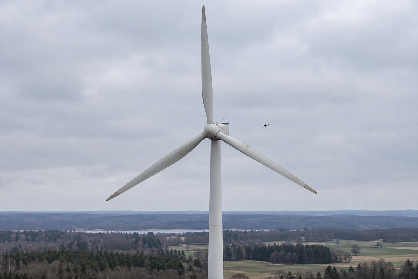
Wind inspection and O&M records

Wind inspection and O&M records

Visible blade, tower and nacelle areas, with imagery referenced to the turbine, component and zone.
  • RGB and zoom
  • Observation register
  • Scope report
Quoted by turbine count and typeExplore scope and deliverables
Construction and change monitoring

Construction and change monitoring

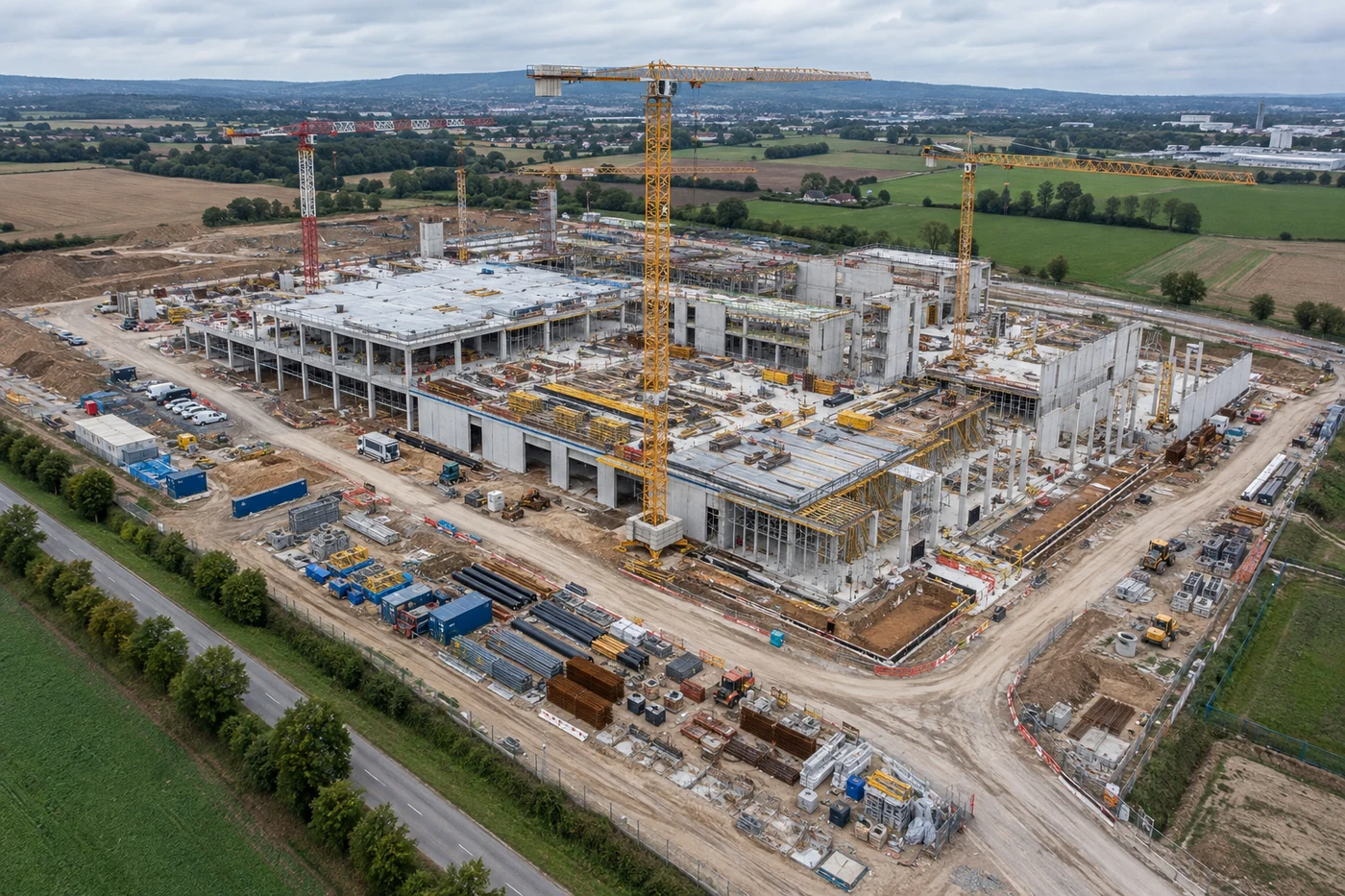
Repeatable progress views for contractors, investors and project teams.
  • Dated imagery
  • Comparison views
  • Project archive
From EUR 350 per visitExplore scope and deliverables
Solar PV thermal inspections

Solar PV thermal inspections

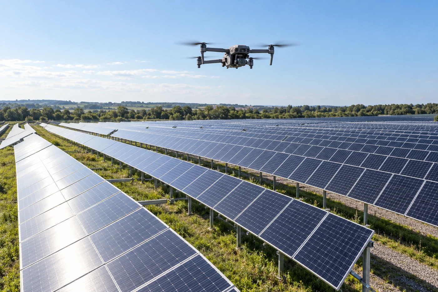
Thermal imagery with RGB context and references to areas for further maintenance checks.

  • Thermal and RGB
  • Located observations
  • Capture conditions
From EUR 450 up to 100 kWpExplore scope and deliverables

Starting budgets are net. Travel and additional processing are separate. Scope and timing are confirmed in an individual proposal.

FIELD EVIDENCE AND REVIEWABLE MATERIAL

Evidence first. Scope discussion second.

Review a real field case and buyer-facing documents before deciding whether a pilot is worth discussing.
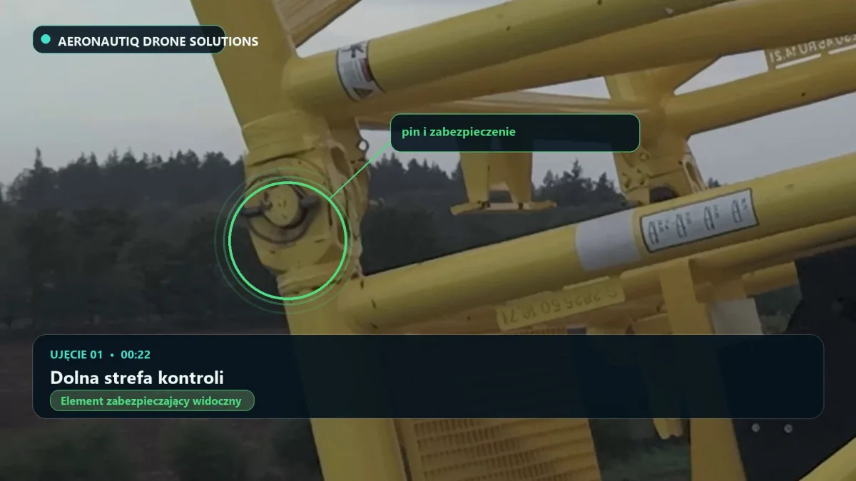
Crane boom pin-retainer visual check
REAL FIELD CASE / ANONYMISED

Crane boom pin-retainer visual check

An annotated film, seven referenced evidence frames and a report with the observation limits stated clearly.

Review the field case
PARTNER BRIEF, ENGLISH PDF

Energy Project Partner Brief

Three paid pilot scopes covering one turbine, a defined PV block and a construction stage, with a practical brief for the first project discussion.

Energy Project Partner Brief
PRIOR TEAM EXPERIENCE / NOT AN AERONAUTIQ DELIVERY

Post-fire shipboard electrical reconstruction

Documented prior team experience with the delivery boundary and source of the material stated clearly.

Review the Marine case
DJI Matrice 400 with Zenmuse L3 scanning a quay in Szczecin with LiDAR

Final accuracy depends on mission geometry, corrections, control, terrain and validation. A legally binding survey requires an authorised surveyor.

FLAGSHIP TECHNOLOGY / OWNED SYSTEM

DJI Matrice 400, Zenmuse L3 and D-RTK 3

Aeronautiq's newest survey system combines LiDAR capture, dual RGB cameras and RTK/PPK referencing. We use it for terrain, construction and infrastructure documentation when imagery alone is not enough.

LiDAR
1535 nm
RGB cameras
2 × 100 MP
returns
up to 16
field reference
D-RTK 3
Possible client deliverables
  • LAS/LAZ point cloud
  • Terrain or surface model
  • Sections, contours and profiles
  • RGB orthomosaic and change records

SAMPLE HANDOVER STRUCTURE

What you receive

Review example deliverables, their contents and limitations. We agree the exact delivery scope before the project.

Expand a result type. You can keep several sections open at once.
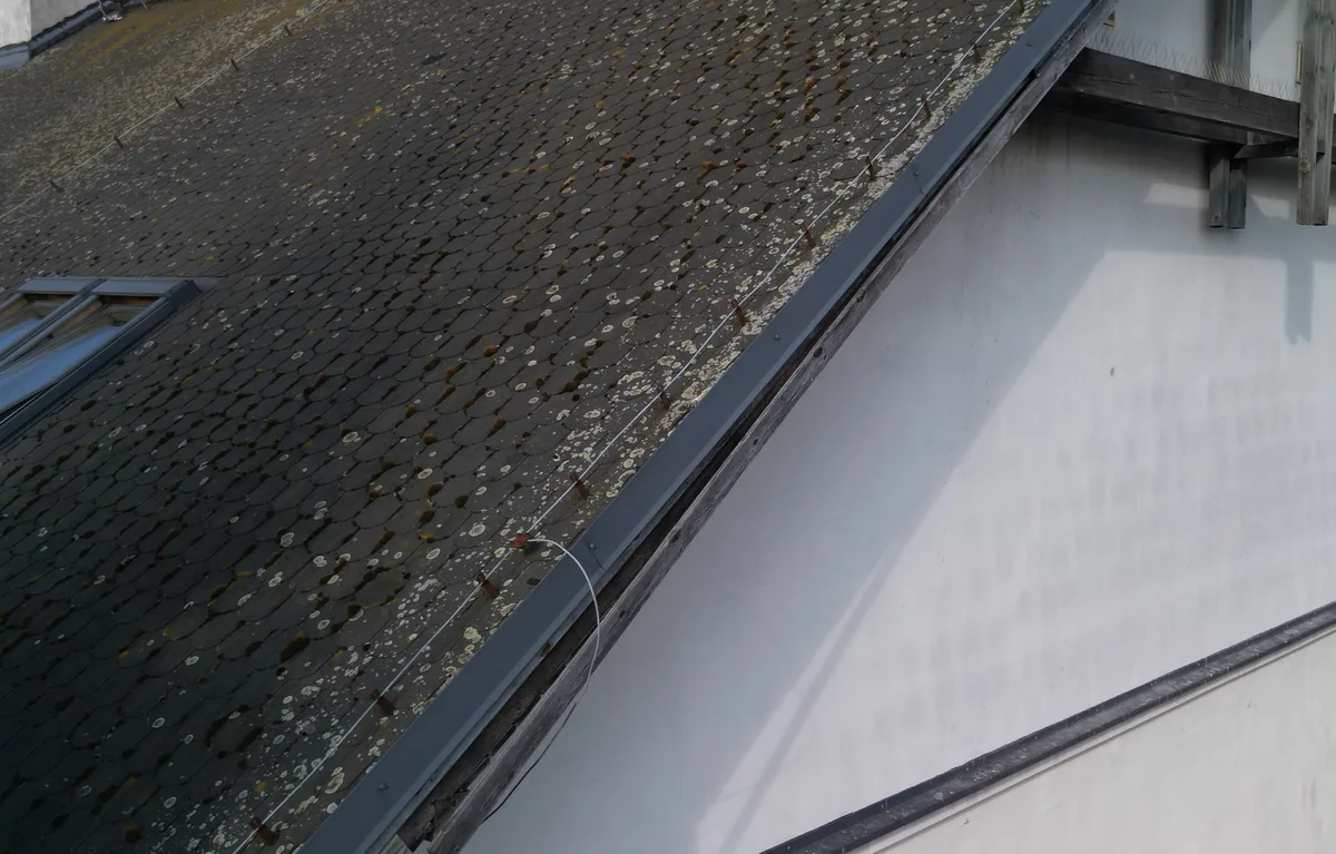
PUBLISHED ARCHIVE ANALYSISInspection reportObservations, image references and priorities for further checks.
Roof and facade photograph from the supplied Budziszyńska archive used in the published analysis
Budziszyńska, Szczecin. Preview of a photograph from the archive supplied for analysis.This report analyses a supplied photo archive. It does not claim that Aeronautiq performed the flight or took the photographs.
  • Numbered observations with references to the photographs.
  • P1-P3 priorities and points for further verification.
  • Sources, assessment method and limitations.
Format and delivery
Web report and PDF in Polish, English and German. Polish remains the source version. The English and German editions are informational.
Important limitation
A remote assessment does not replace an on-site inspection or an opinion from an appropriately qualified specialist.
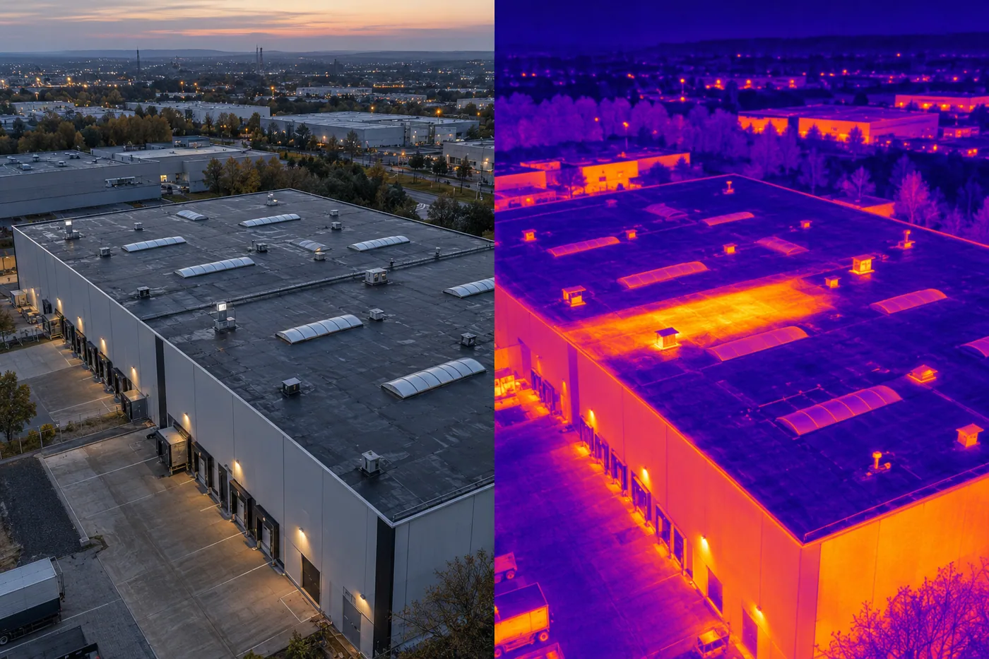
DEMO, THERMAL ILLUSTRATIONRGB / thermal documentationOrganised imagery and identified areas for further inspection.
illustration of thermal imagery of an industrial roof. Not a measurement or a completed project
DEMO. An illustration of thermal presentation, not an inspection result.This is a DEMO illustration, not a temperature measurement. It is not presented as a matched RGB/thermal comparison of the same site.
  • RGB and thermal imagery within the agreed scope.
  • Context views, close-ups and numbered observations.
  • Files organised by area or asset.
Format and delivery
RGB photographs in JPEG, thermal imagery in the agreed format. An optional PDF summary. Source files are agreed before capture.
Important limitation
Thermal results depend on weather, surfaces and temperature contrast. Observations do not replace a specialist diagnosis.
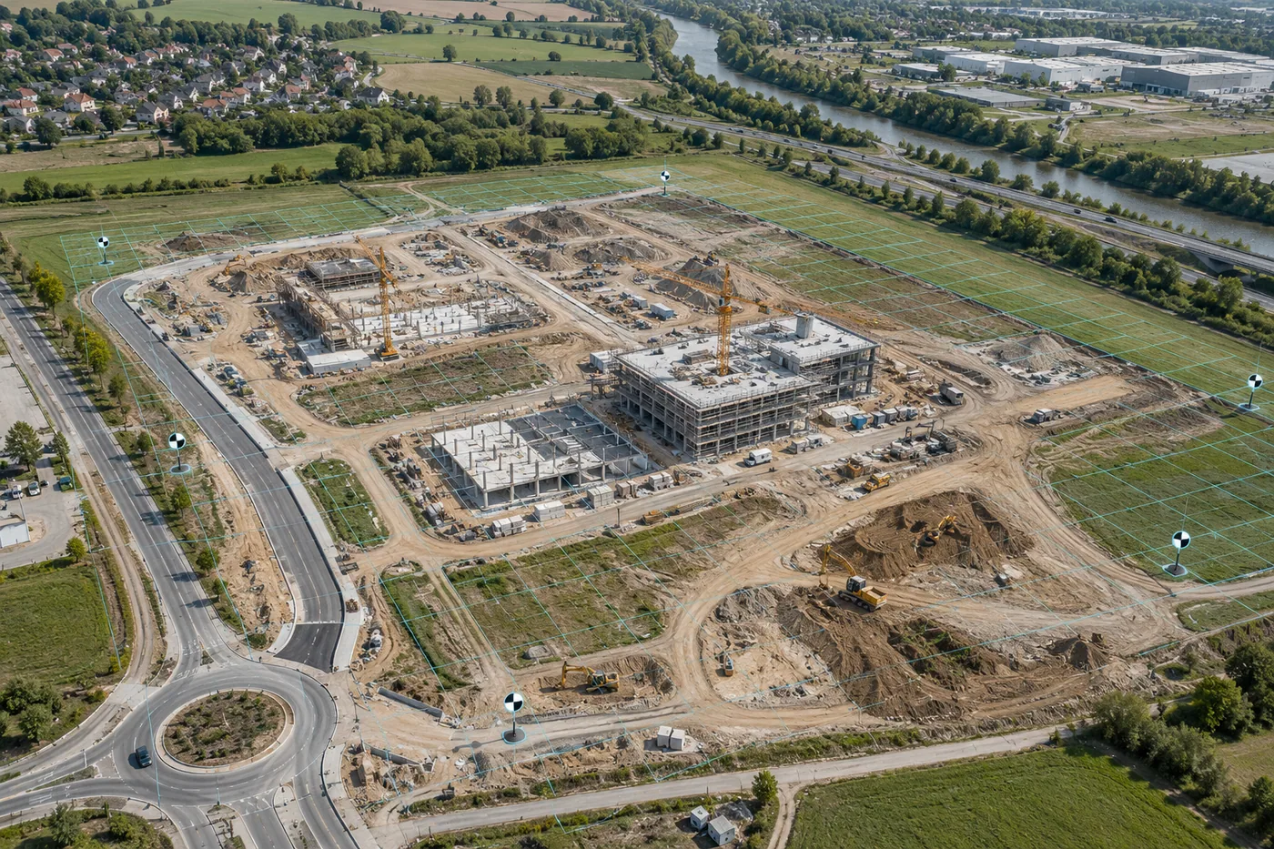
DEMO, STATIC ILLUSTRATION2D/3D data and modellingAn orthomosaic, point cloud or model with the intended use agreed first.
static illustration of a construction-site flight with a 3D mesh overlay. Not a real measurement model
DEMO. Static 2D/3D photogrammetry illustration, not an interactive model.This is a static DEMO illustration. No real 3D model or measurement dataset is provided here.
  • A 2D orthomosaic, point cloud or textured 3D mesh.
  • A surface model, sections or volumes where the scope allows.
  • Method, quality-control and limitation notes.
Format and delivery
Export for the agreed software. File format, coordinate system and recipient requirements are confirmed in the brief.
Important limitation
RTK supports positioning but does not by itself guarantee model accuracy. The validation method is agreed before capture.

Preparing material for a property manager, contractor or designer? Tell us who will use it and what result they need.

Discuss your project scope

ADDITIONAL SPECIALIST SUPPORT

Technical support across your project.

MARINE ELECTRICAL

Marine electrical and mobile technical service

A dedicated route for shipowners, vessel operators and shipyards: service calls, onboard repairs and retrofit projects.

Explore Marine Electrical
VIDEO POST-PRODUCTION

Editing and post-production for technical projects

Short formats, project updates, case studies and ongoing support using footage supplied by the client or field team.

Explore editing packages
DJI DOCK 3 + MATRICE 4TD

Recurring documentation at one site

A fixed launch point for repeat missions. Installation, supervision and operating scope follow a site assessment.

Explore DJI Dock 3

03, MANAGEMENT

Responsible for project development and delivery

Direct access to the people who prepare the scope, coordinate delivery and develop Aeronautiq in its key markets.

Marcin Samotyja-Lenczewski, founder of Aeronautiq Drone Solutions

Founder and Project Lead

Marcin Samotyja-Lenczewski

Responsible for company development, scope preparation and coordination with project clients.

View Marcin's profile
Paweł Jedliński at a wind turbine site

German Market Lead

Paweł Jedliński

Leads technical discussions and client visits in Germany and supports the preparation of UAS operations.

View Paweł's profile

02, OPERATIONAL CREDIBILITY

What your team should know before sending an enquiry

We state responsibilities, requirements and delivery standards clearly, without promising an operation before the project has been reviewed.

Operational base

Szczecin, Poland. We plan domestic assignments and international mobilisation from this base.

Safety process

We review airspace, access, the ground area, weather, HSEQ, stop-work criteria and the asset operator's requirements.

Data handover standard

Agreed file naming, material organised by asset and area, an observation register, limitations and follow-up actions.

Contact

Tell us about your site.

Share the location, asset and objective. We will review feasibility and propose a scope.